Gananoque Trees & Trails
Explore the trail system of Gananoque, Ontario
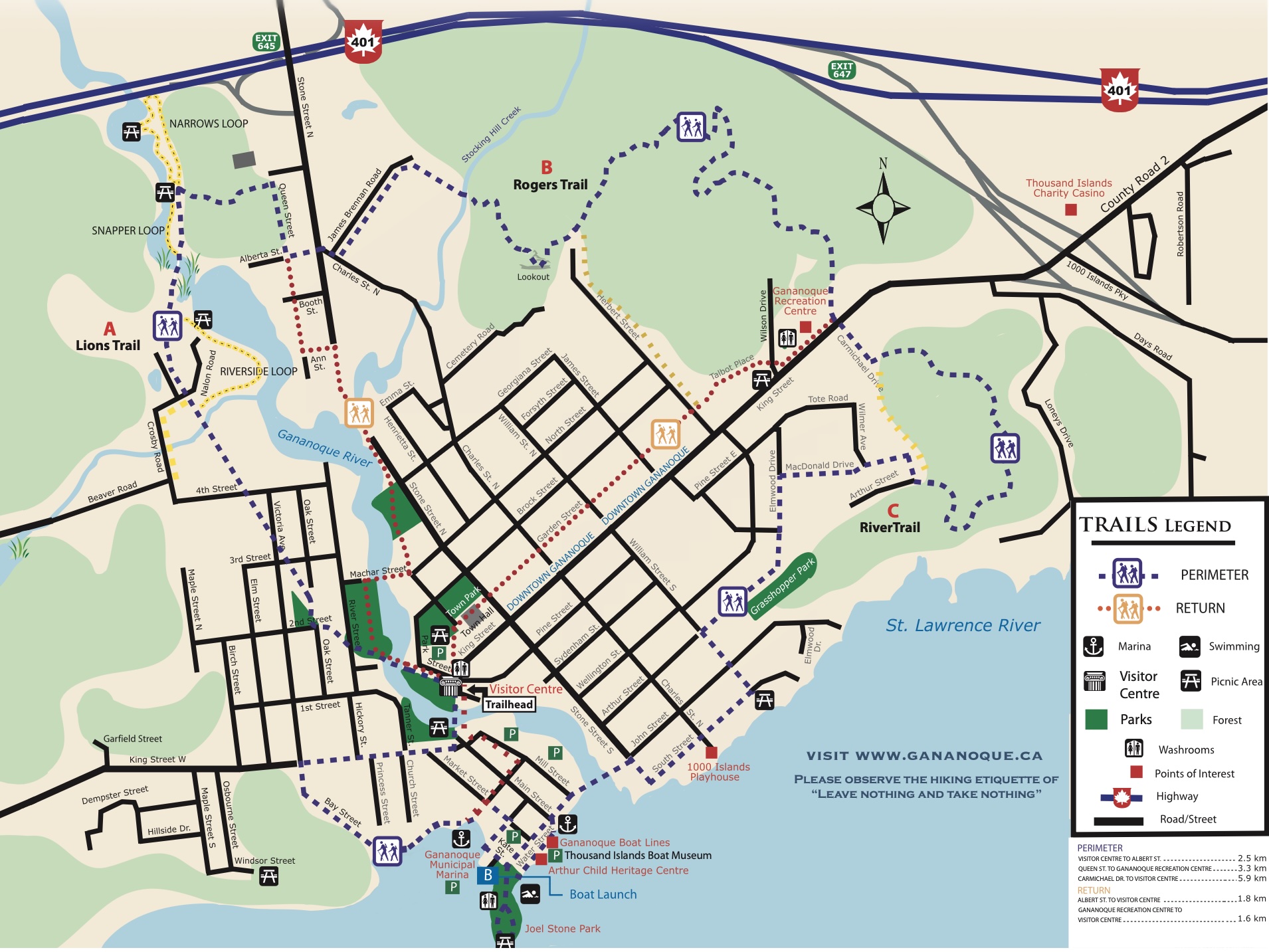
The full 12 km perimeter hike connecting all three named trails. Follow the blue hikerman markers. Trailhead at the Visitor Centre, 10 King St.
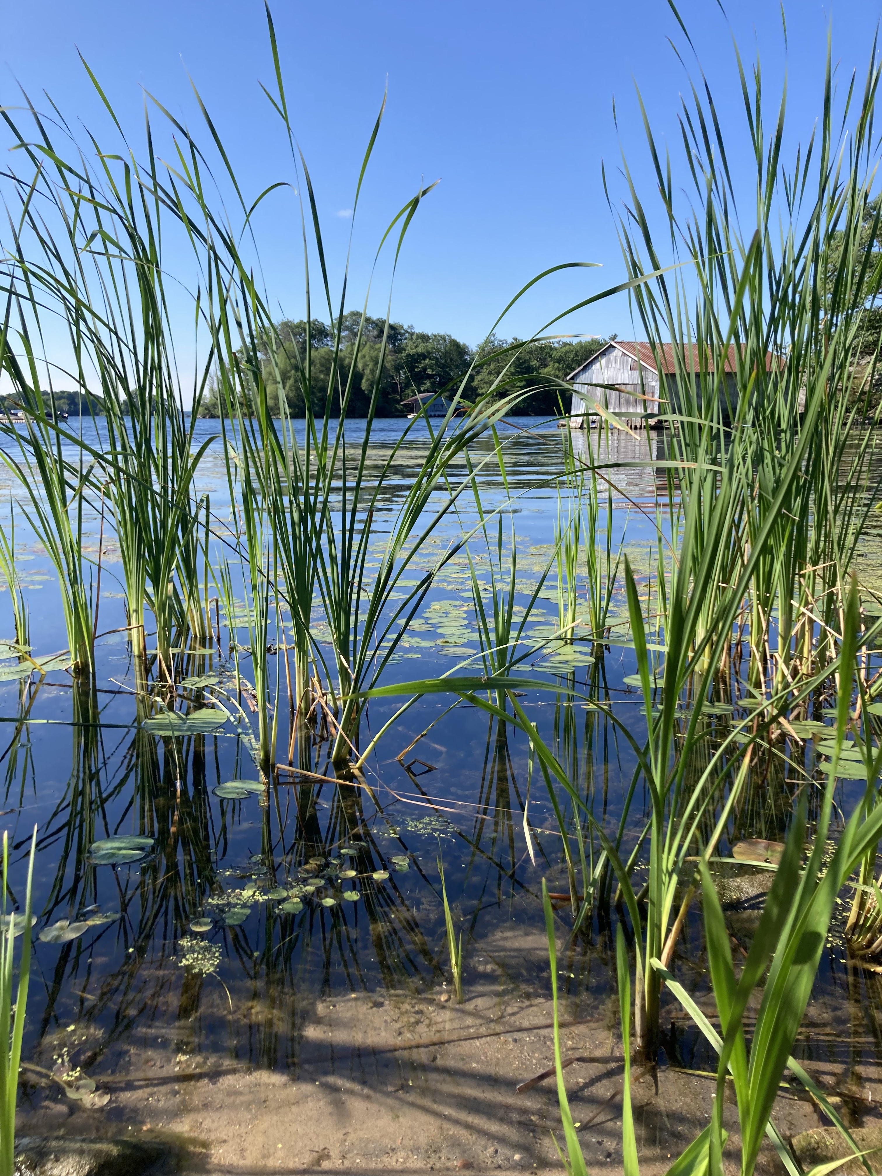
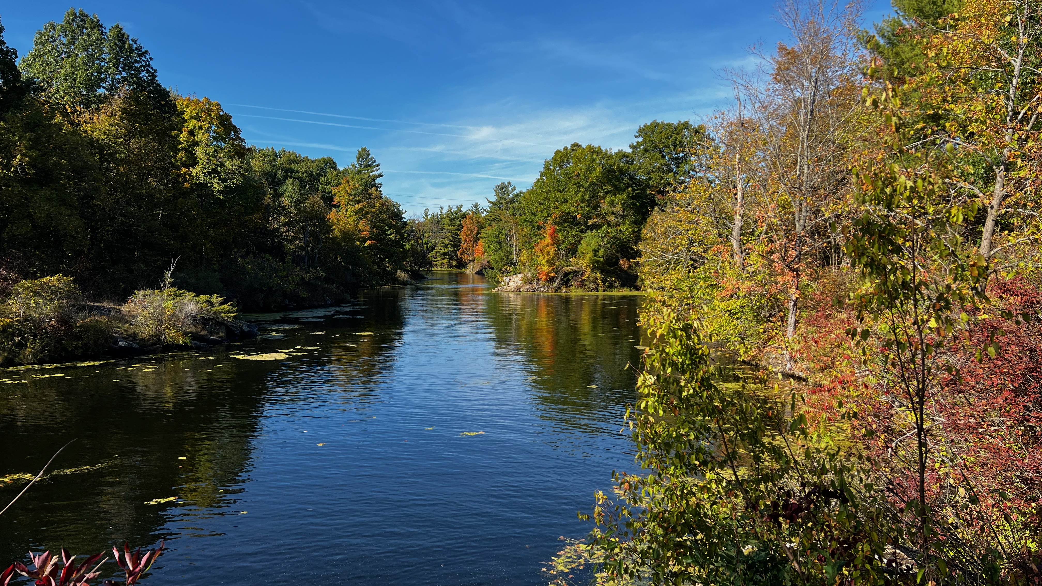
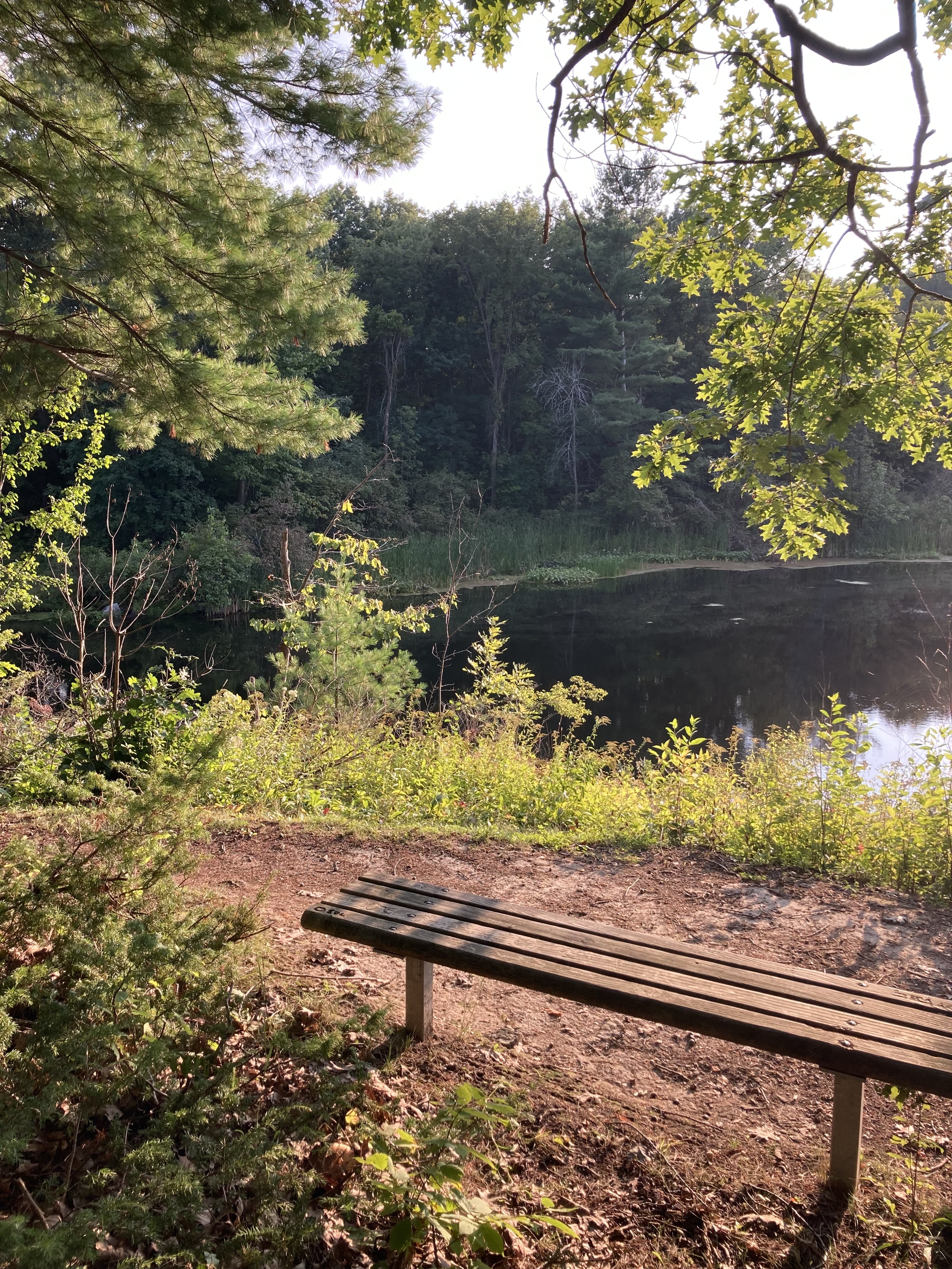
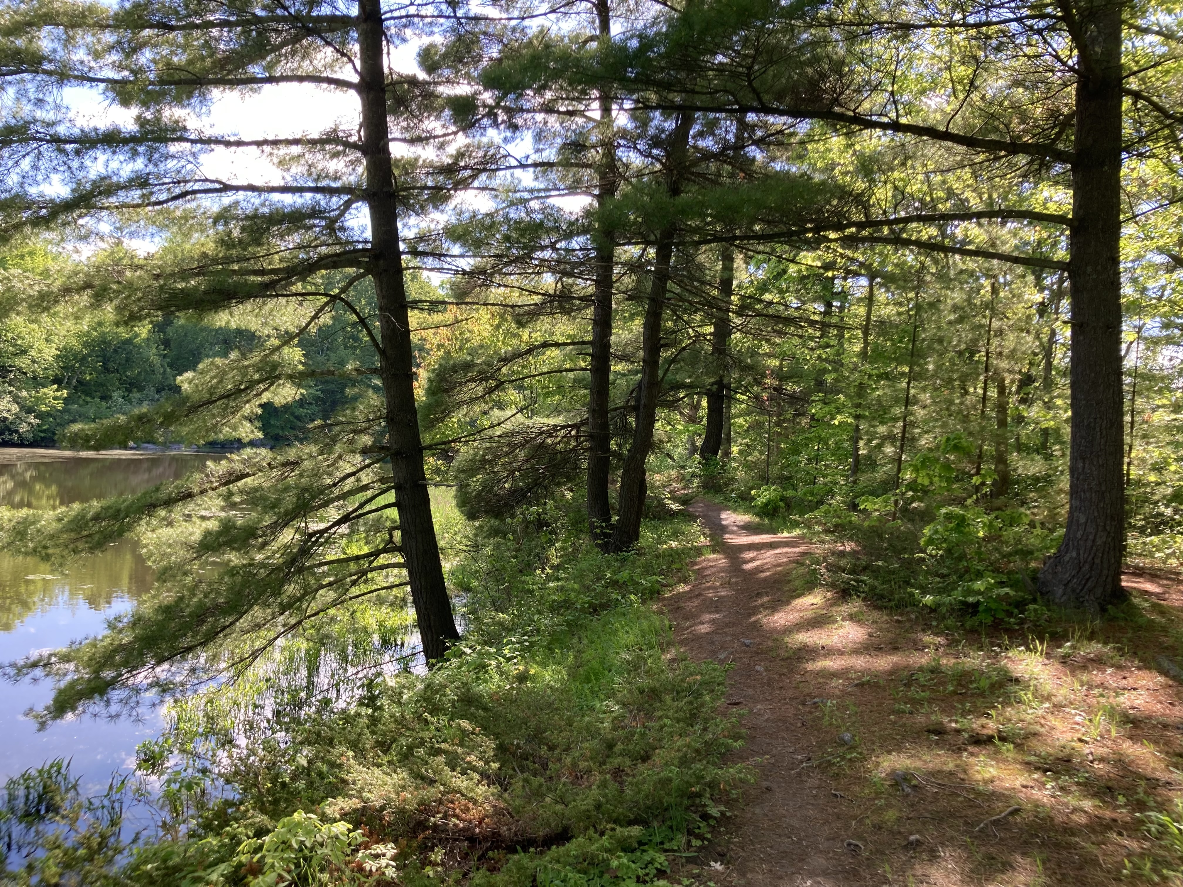
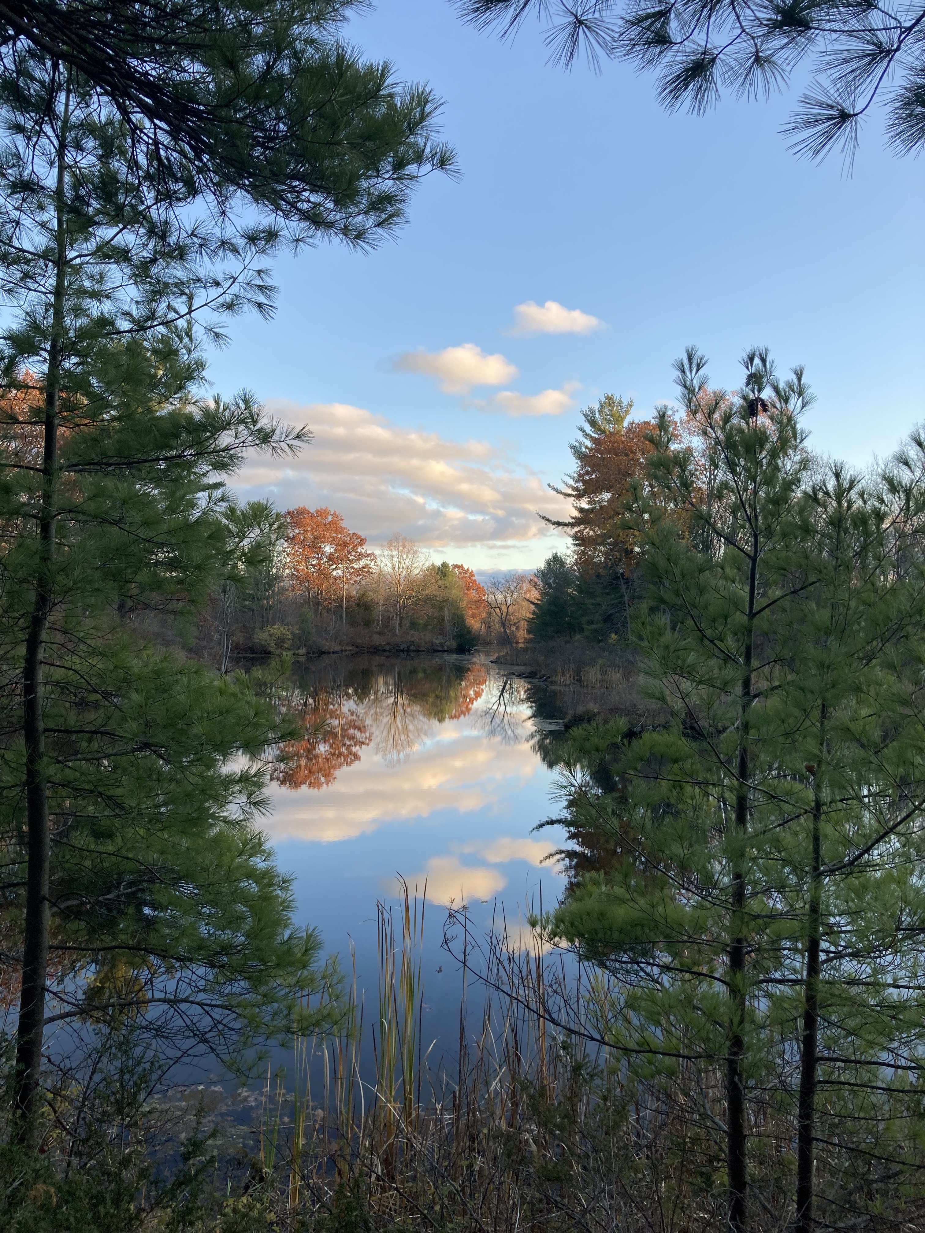
A scenic shorter loop along the Gananoque River. Benches, picnic tables, and great views of the water throughout.
A peaceful woodland loop through the northern section of the trail system, offering quiet forest walking with great wildlife spotting opportunities.
A beautiful loop through the narrows section of the trail system, with views of the water and surrounding natural landscape.
From the Trailhead, explore the rail bed of the Thousand Island Railway, now integrated into the trail system. Interpretive plaques along the route tell the story of Gananoque's industrial past.
"Gananoque was once known as the Birmingham of Canada, with many factories producing metal products, wood products, leather and more using the water power of the Gananoque River."
Gananoque is also part of the Frontenac Arch Biosphere, officially designated by the National Geographic as the world's ninth Geotourism Region. Learn more →
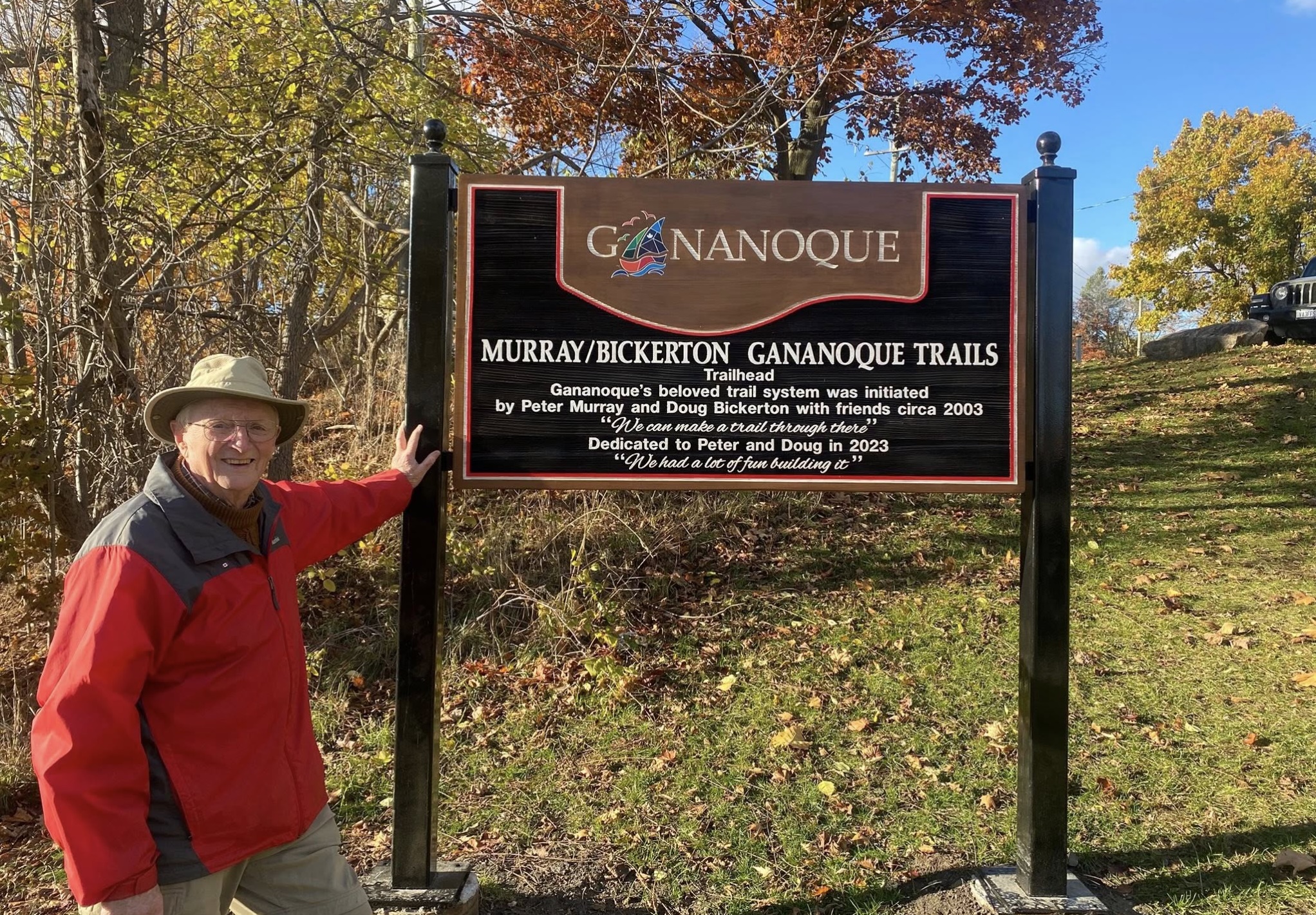
The Gananoque Trail has been built and maintained with the support of the Town of Gananoque Volunteer Trails Committee, the Ontario Trillium Foundation, the Lions Club of Gananoque, the Kinsmen Club of Gananoque, and the generosity of landowners who have allowed the trail to pass over their property.